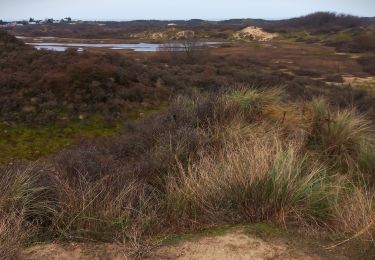
7.8 km | 8.4 km-effort
La Panne / Blankenberge
Wilfriedper
User
Length
73 km
Max alt
35 m
Uphill gradient
603 m
Km-Effort
81 km
Min alt
-6 m
Downhill gradient
589 m
Boucle
No
Creation date :
2025-01-20 16:27:25.189
Updated on :
2025-01-20 16:27:28.712
18h27
Difficulty : Very difficult
FREE GPS app for hiking
About
Trail Walking of 73 km to be discovered at Flanders, West Flanders, De Panne. This trail is proposed by Wilfriedper.
Positioning
Country:
Belgium
Region :
Flanders
Department/Province :
West Flanders
Municipality :
De Panne
Location:
De Panne
Start:(Dec)
Start:(UTM)
468197 ; 5659843 (31U) N.
Comments
Trails nearby
Circuit de la dune fossile
Walking
Very easy
(3)
Ghyvelde,
Hauts-de-France,
Nord,
France
Unknown
Yes
Circuit de l'Hôpital maritime - Zuydcoote
Walking
Easy
(1)
Zuydcoote,
Hauts-de-France,
Nord,
France
4.5 km | 4.9 km-effort
1h 15min
Yes
20240613 - TOTEMUS partiel - DE PANNE 16 Km
Mountain bike
Easy
De Panne,
Flanders,
West Flanders,
Belgium
15.9 km | 16.8 km-effort
2h 26min
No
20240612 - TOTEMUS De Panne - 6.7 Km
Walking
Medium
(1)
De Panne,
Flanders,
West Flanders,
Belgium
6.7 km | 7.3 km-effort
1h 39min
Yes
Gr5A Bray-Dunes / Nieuport
Walking
Medium
(1)
Bray-Dunes,
Hauts-de-France,
Nord,
France
28 km | 31 km-effort
6h 56min
No
Westhoek wandelroute
On foot
Easy
(1)
De Panne,
Flanders,
West Flanders,
Belgium
11.2 km | 12.2 km-effort
2h 46min
Yes
w-belgie-westhoekreservaat
Walking
Very easy
(1)
De Panne,
Flanders,
West Flanders,
Belgium
9.8 km | 10.6 km-effort
Unknown
Yes
dune Marchand
Walking
Medium
(1)
Bray-Dunes,
Hauts-de-France,
Nord,
France
9.1 km | 9.8 km-effort
2h 30min
Yes
sgr kust (gr régional côte) day 1/4
Walking
Very difficult
De Panne,
Flanders,
West Flanders,
Belgium
27 km | 29 km-effort
6h 32min
No